
The right campsite
Before choosing, guests can see how far it is to the lake, the washrooms and the road.
Guests see the land and every campsite before they book, from the air and on the ground.
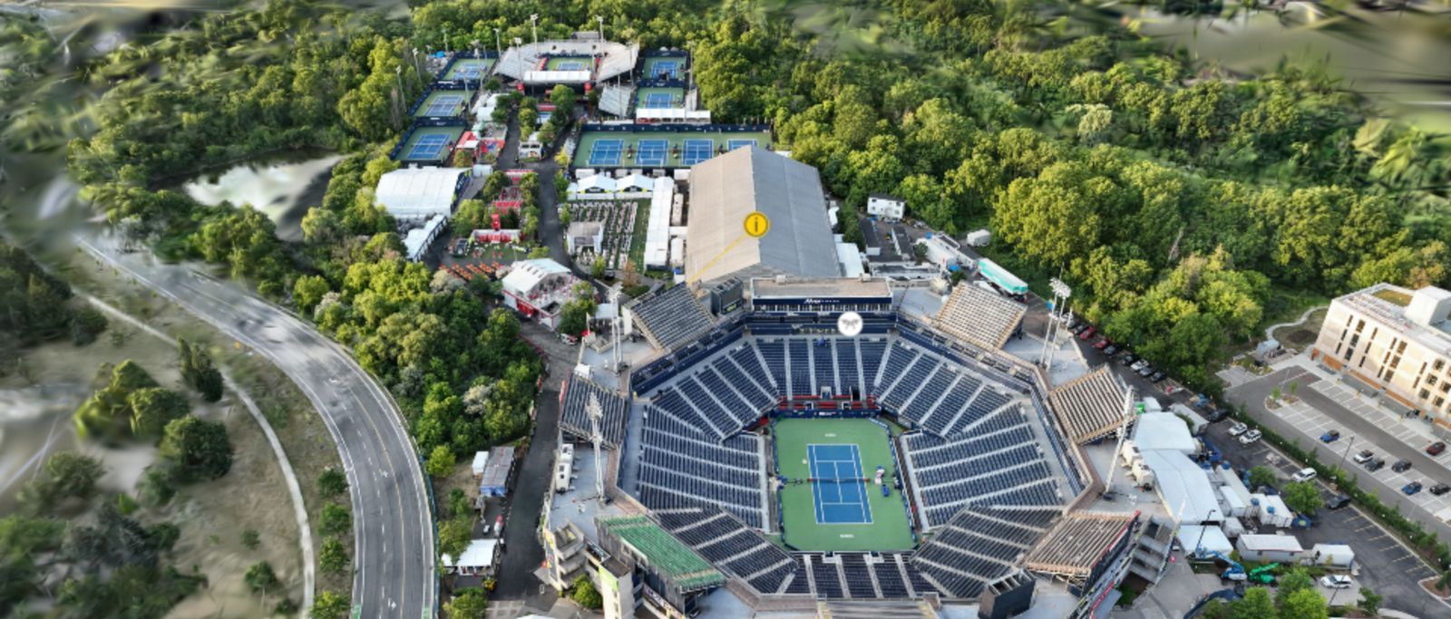
IGA Stadium, Tennis CanadaCertified drone pilot
The virtual tour shows your guests the land as it is, site by site.
Before choosing, guests can see how far it is to the lake, the washrooms and the road.
When they arrive, guests find the campsite they already saw online.
In the evening and on weekends, the AI concierge answers your guests from your own documents.
When guests book in February, the tour shows them the grounds at the height of summer.
The 360° drone image shows where the campsites, cabins and trails are. From there, the ground view takes over.
The topographic survey and the 3D model are used for the tour and for your site plan.
Our drone pilots are certified. Where the drive is long, a photographer from our North American network can do the capture.
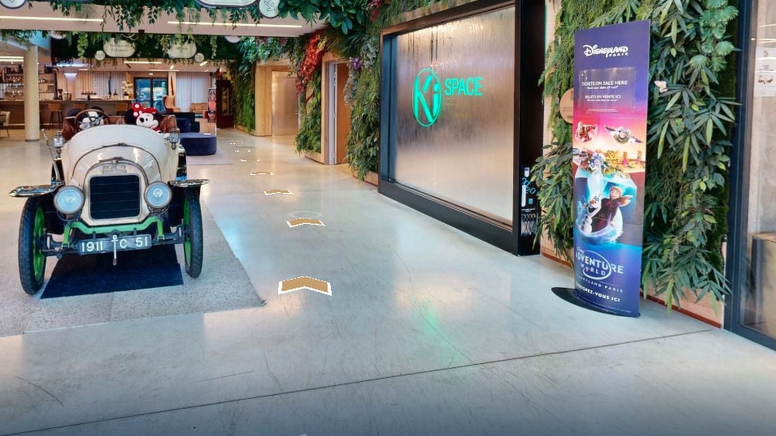
Take me to campsite 42.
Taking you there. The path to the dock is marked on the ground.
The tour moves from the aerial view to the campsite, then draws the path on the ground to the washrooms or the dock.
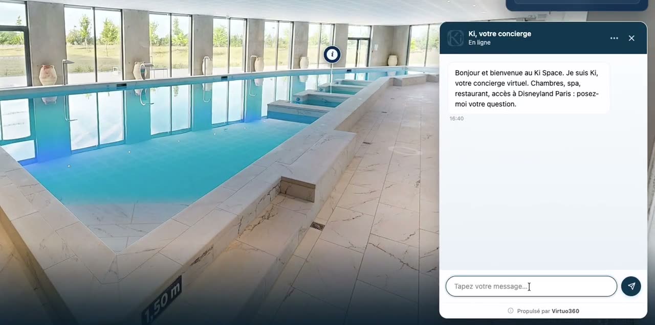
It answers questions about packages, seasons and rules, in French and in English, from your documents. When something isn’t in them, it says so.
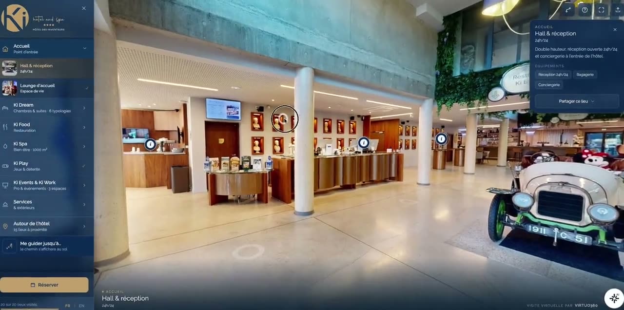
The grocery store and the gas station each have their own card, with their distance from the site.
We captured IGA Stadium from the air for Tennis Canada, and the Arca Roatán, in Honduras, down to the water’s edge. An outdoor property is captured the same way.
Plan on about 2 hours on site for the capture, then about ten days until the tour goes live.
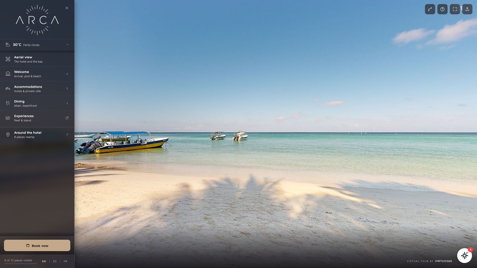
Arca Roatán, Honduras
An initial capture, quoted, a monthly platform plan, and the AI concierge as an option.
You get a price and a timeline in writing, with no meeting to book.
info@virtuo360.com · 514 813-4560 · Montreal, since 2013